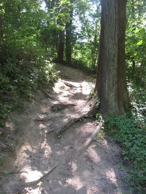
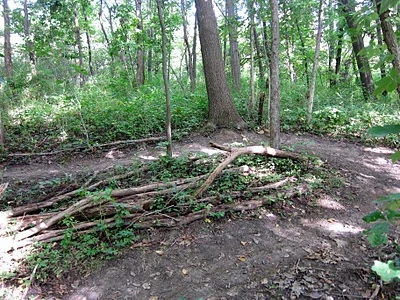
Sugar Bottom Trails were developed in 1990 and to our knowledge it is the first mountain bike trail system in Iowa. Sugar is known for the aerobic challenge it presents to riders. There are no mountains to climb here, but the frequent ups and downs will give you a killer interval workout. The overall elevation gain is impressive for the distance covered.
 |
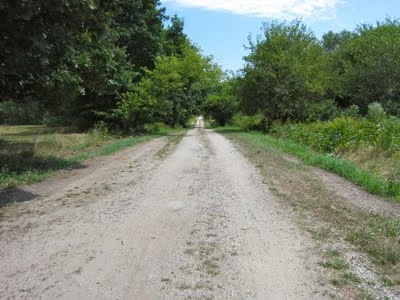
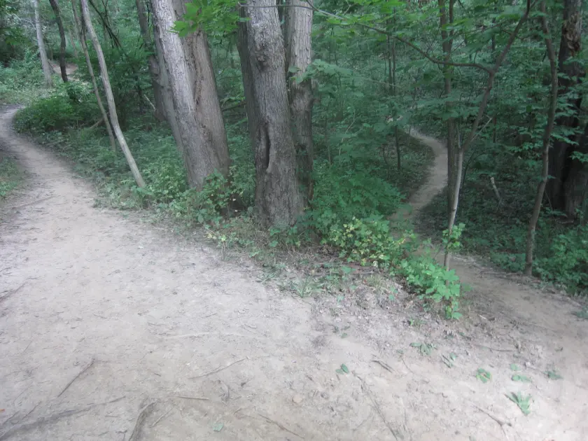
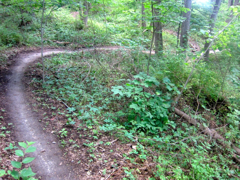
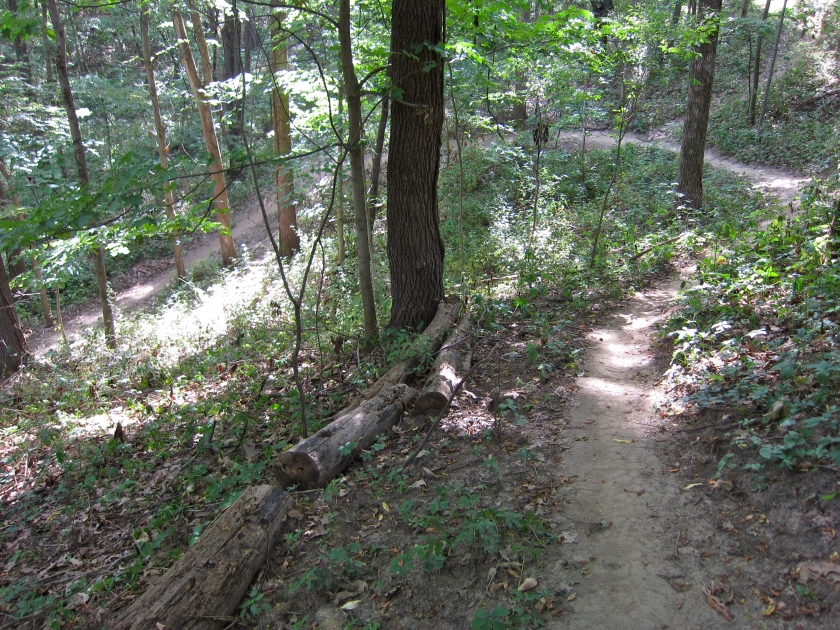
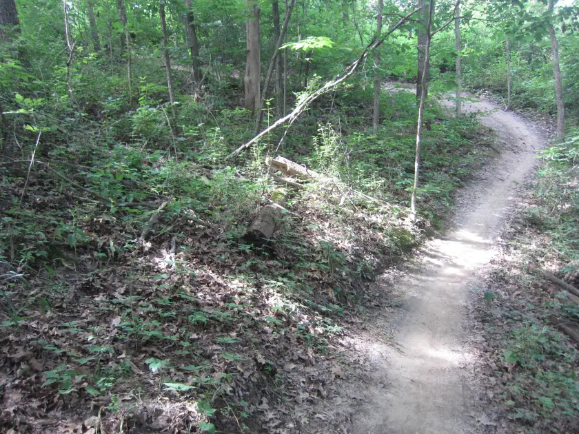
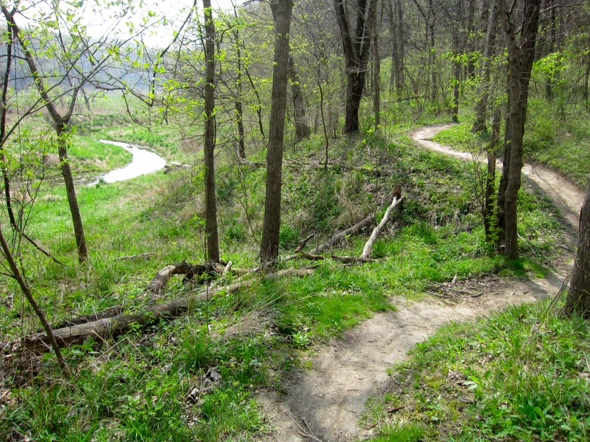
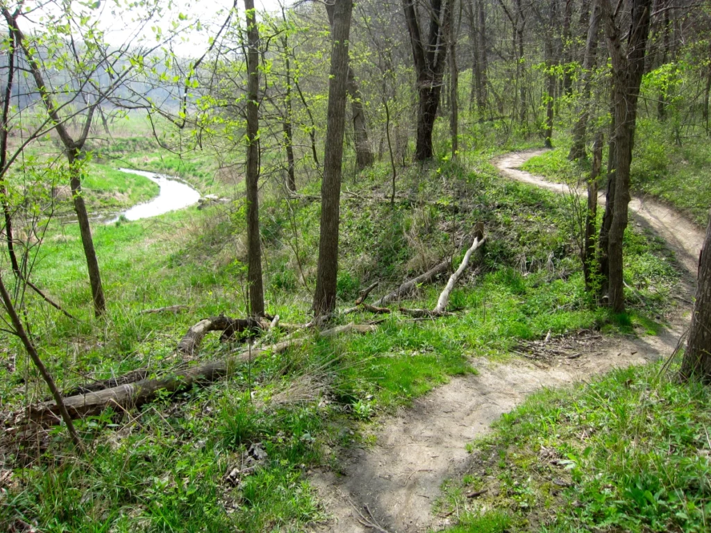
North & South Trails The trail system is divided into north and south sections with all trails connecting to a central backbone gravel road. There are 3 main trails, 101, 201, and 301. In general, all other trails are loops connected to the main trails. If you want to return to the gravel road, stay on one of the 01 trails. |
 |
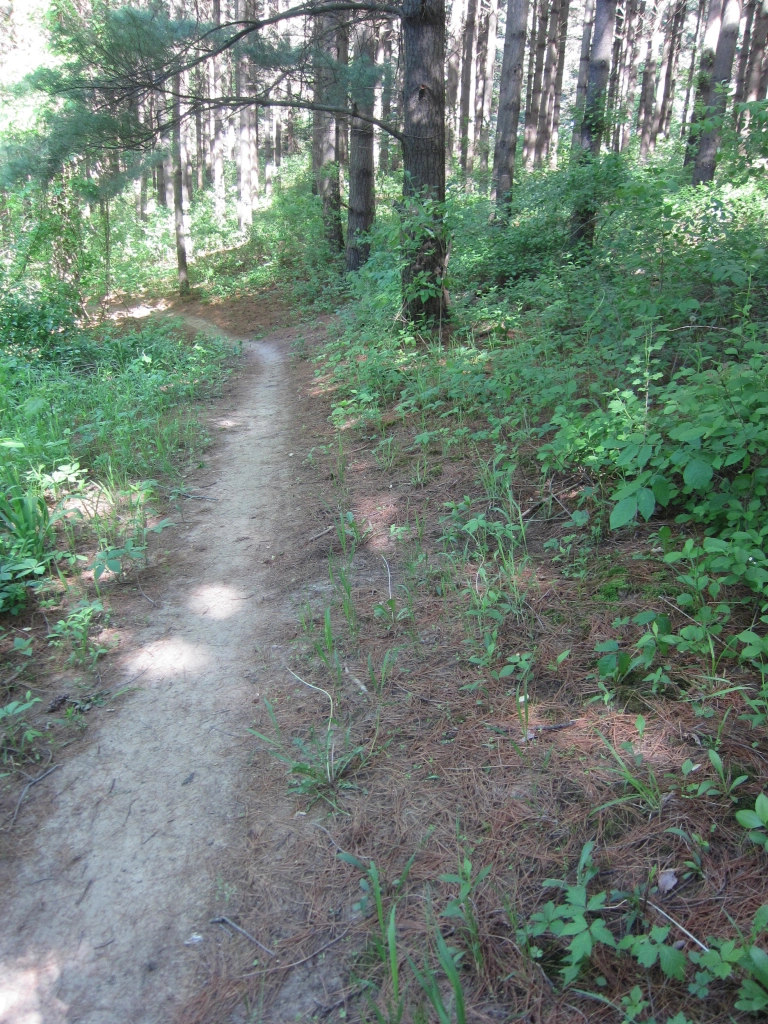
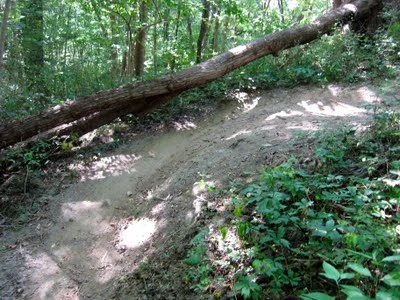
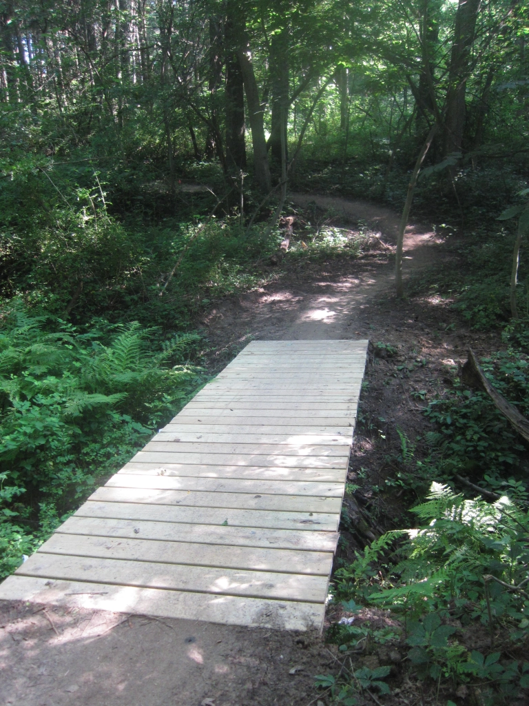
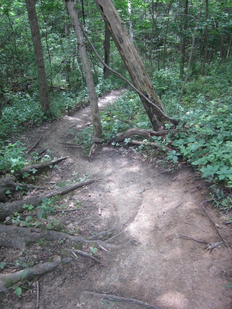
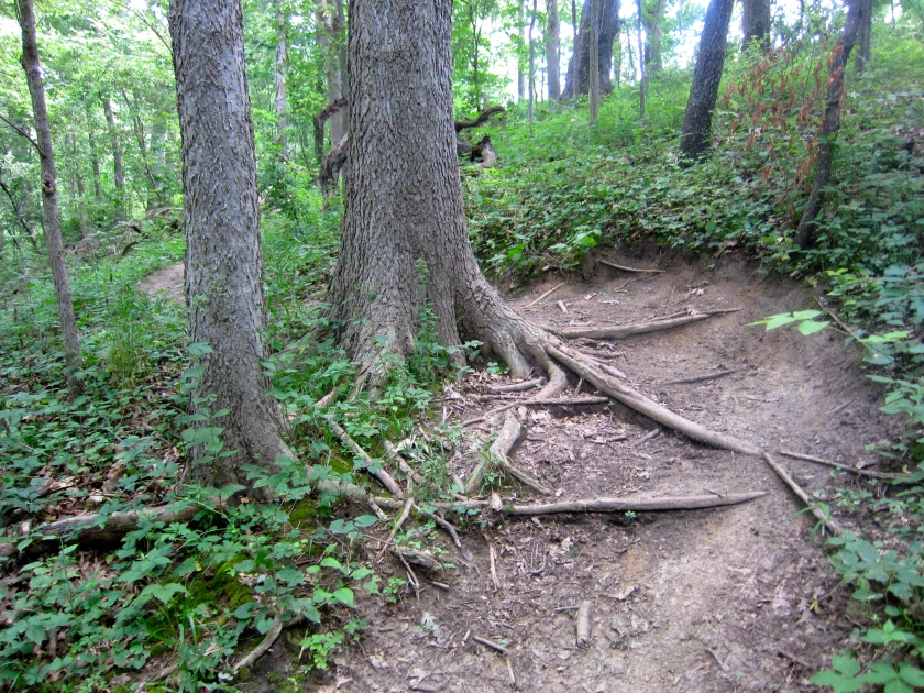
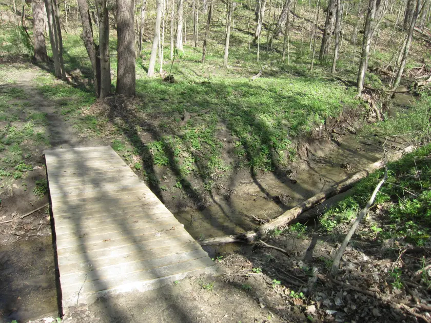
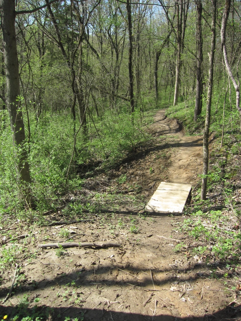
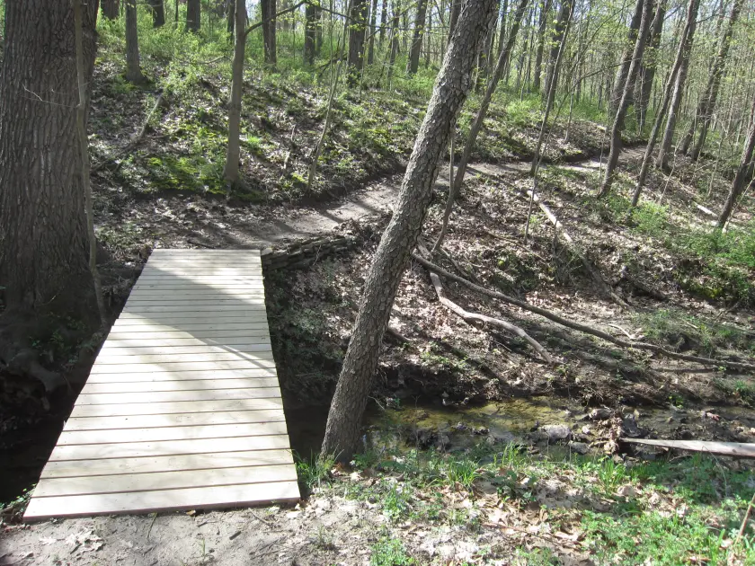
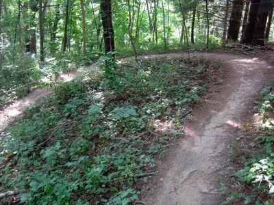
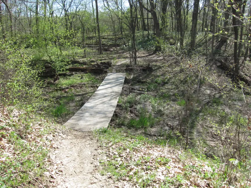
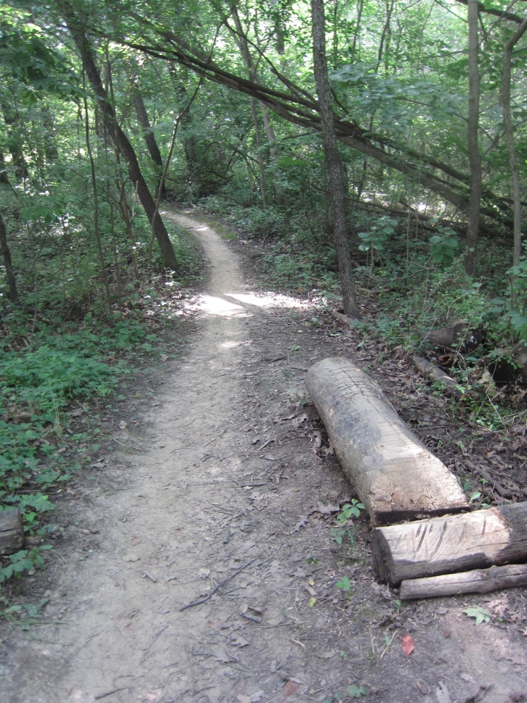
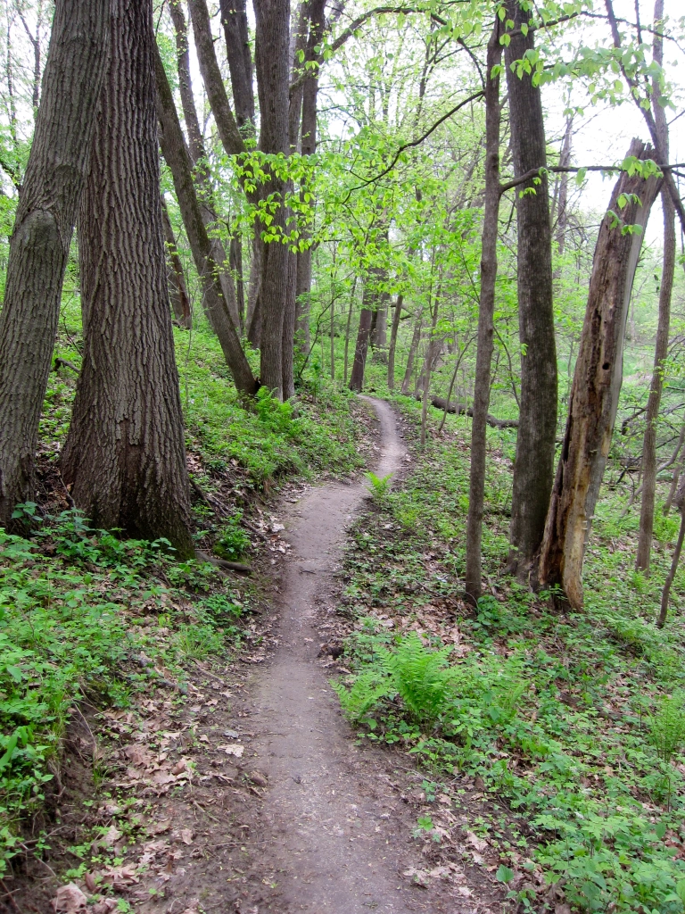
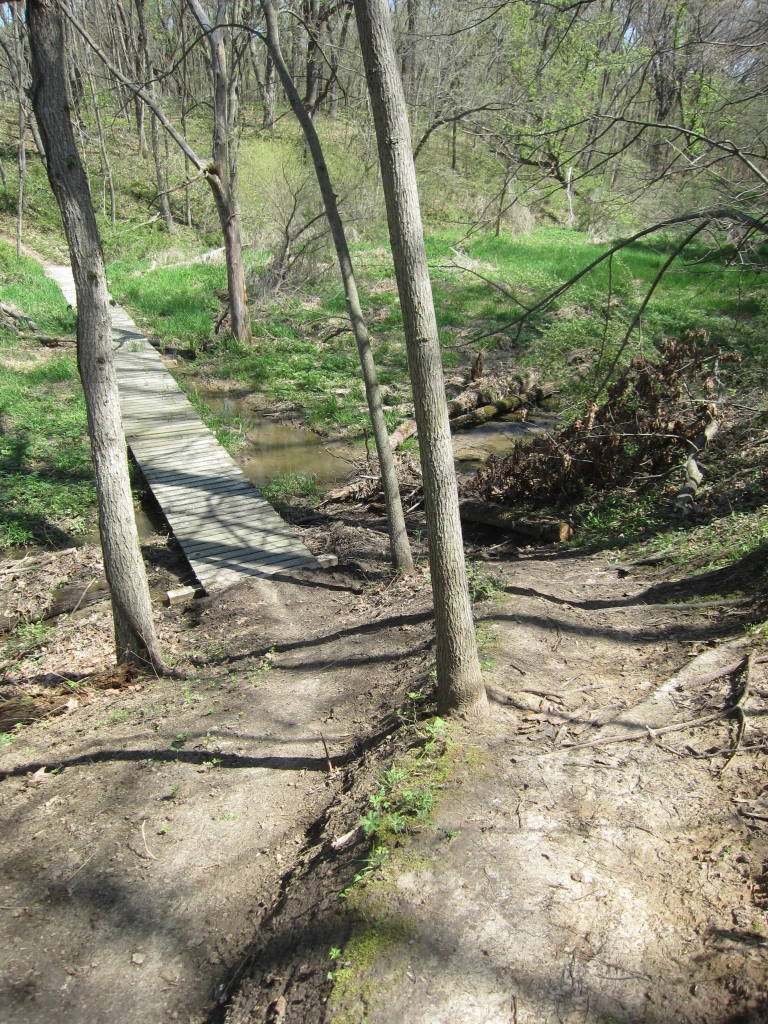
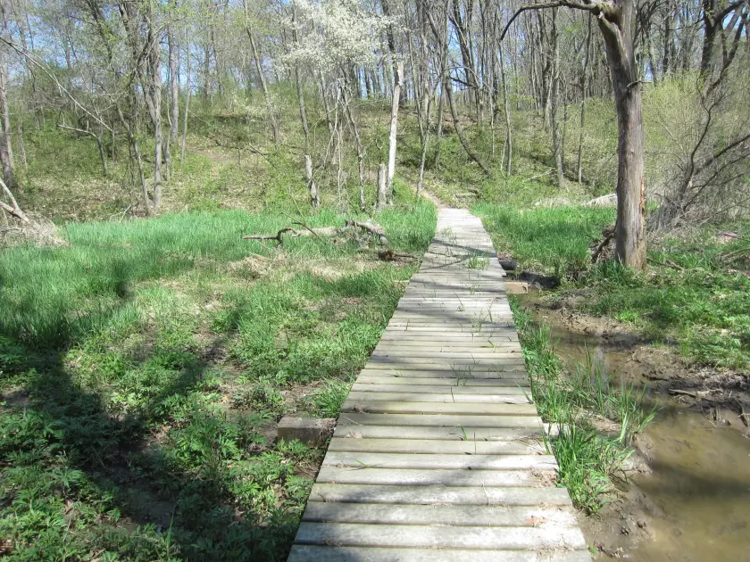
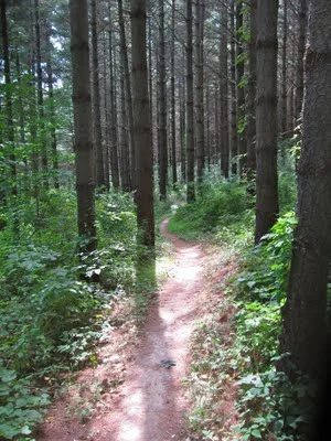
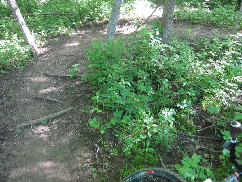
Single Track Trails All trails are one-way single track unless otherwise marked during high water access periods. |
 |
Trail Signs & Numbering Trails are numbered and have signs marking their difficulty level. The trail maps have all the trail numbers and difficulties identified. Not all black trails are technically difficult but they may test your aerobic threshold. |